


In a significant step towards bolstering road safety, Google Maps has rolled out a cutting-edge real-time speed limit feature, currently exclusive to Android devices. This groundbreaking addition leverages the power of artificial intelligence (AI) to swiftly identify and display up-to-the-minute speed limits, offering drivers pivotal information for a safer and more informed journey.
Google Maps, a preeminent navigation app, introduces this innovative feature with the primary objective of promoting road safety and curbing unintentional speeding. Accessible on a global scale, the real-time speed limit information caters to drivers navigating through a spectrum of road conditions, addressing challenges such as adverse weather and unfamiliar traffic regulations.
The Imperative Need for Real-Time Speed Limit Information:
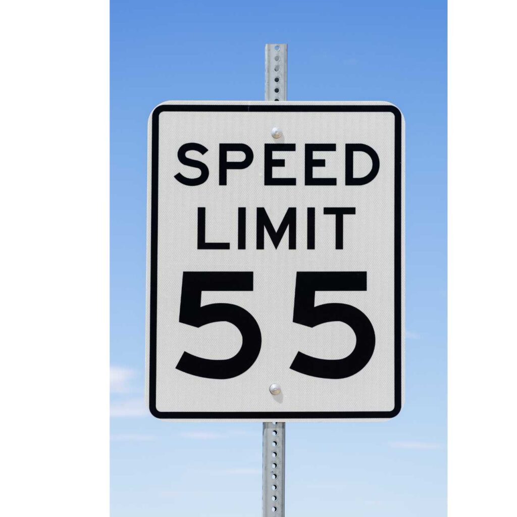
This new feature directly tackles common predicaments faced by drivers, especially during transitions between highways and local roads. The ability to promptly recognize changes in speed limits is pivotal to avoiding inadvertent speeding and the associated penalties. Furthermore, it proves invaluable in situations where construction zones implement temporary speed limits, challenging to discern, particularly in conditions of low visibility.
How to Activate the Speedometer in Google Maps:
1. Open Google Maps: Launch the Google Maps app on your Android device.
2. Access Account Settings: Identify your profile picture or initial in the top right corner and tap to open a drop-down menu.
3. Navigate to Navigation Settings: From the drop-down menu, select “Settings” and proceed to “Navigation settings.”
4. Locate “Driving Options”: Within the “Driving options” section, find various features related to your driving experience on Google Maps.
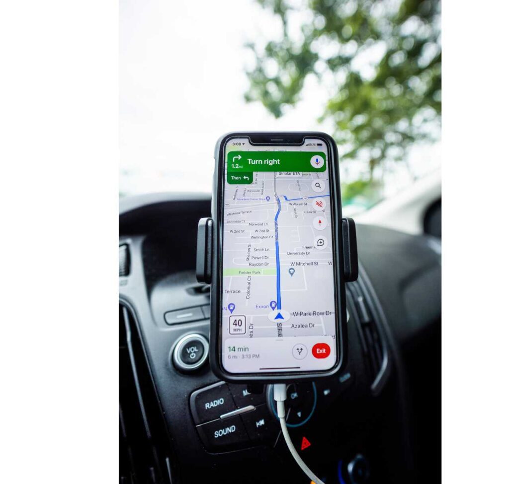
5. Toggle the Speedometer: Under “Driving options,” activate the speedometer by toggling the switch to the “On” position, enabling real-time speed limit information during navigation.
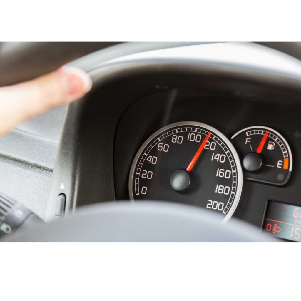
How the Speedometer Works:
Google Maps’ speedometer harnesses the capabilities of AI to recognize speed limits from Street View imagery and third-party sources. The AI model undergoes extensive training on a diverse range of speed limit signs worldwide, ensuring accurate detection even when signs exhibit variations in appearance. GPS information is then employed to pinpoint the precise geographic location of the identified speed limit sign, maintaining the information’s accuracy.
To further enhance precision, traffic patterns and official data are scrutinized to identify potential speed limit changes. This data is cross-referenced with refreshed Street View imagery for verification. In areas devoid of recent imagery, Google Maps collaborates with third-party partners to obtain updated speed limit information, guaranteeing the feature’s accuracy and timeliness.
Google’s Perspective:
According to Google, the speedometer feature extends beyond assisting drivers in adhering to legal speed limits; it also contributes valuable data for automakers developing advanced assisted driving technologies.
In an era dominated by connected and intelligent navigation, Google Maps’ real-time speedometer emerges as an indispensable tool for fostering safer roads and providing users with enhanced navigation assistance. Stay informed, drive responsibly, and let technology be your trusted companion on the road.


What do you think?
It is nice to know your opinion. Leave a comment.